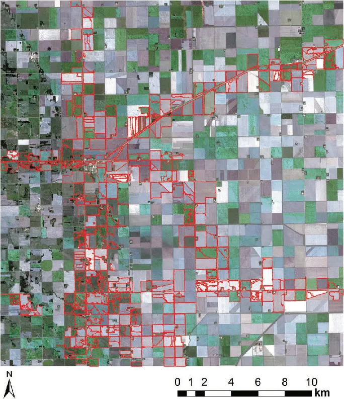
Location: 36.78°N 119.42°WUSA
USA_FIELDS
Agricultural field segmentation from aerial imagery, benchmarking DINOv3-pretrained ConvNeXt encoders. Research at the Multimedia Research Centre.
Built with: PyTorch Lightning · Optuna · timm
Mission index
Each project is pinned on the globe where its data comes from. Hover a card to fly there, open it for the numbers, the visuals and how it was built.
Tap a card to fly the globe to where its data comes from.
Location: 36.78°N 119.42°WUSA
Agricultural field segmentation from aerial imagery, benchmarking DINOv3-pretrained ConvNeXt encoders. Research at the Multimedia Research Centre.
Built with: PyTorch Lightning · Optuna · timm
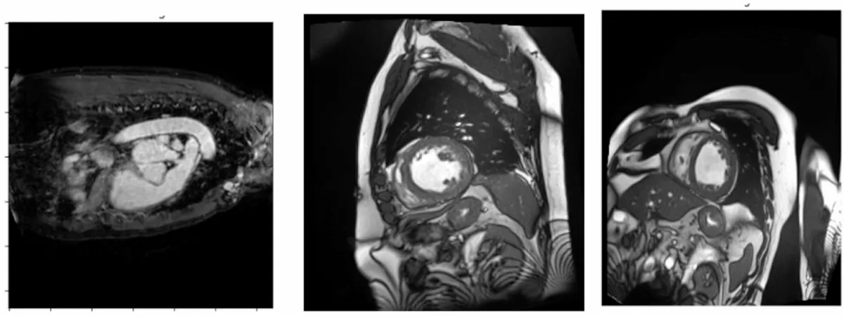
Location: 47.32°N 5.04°EACDC cardiac MRI, Dijon
U-Net cardiac MRI segmentation, YOLOv8 detection, and GANs, VAEs and diffusion models built from scratch (CMPUT 328).
0.902 IoU · 0.98 mAP@0.5
Built with: PyTorch · YOLOv8 · U-Net
Location: 53.55°N 113.49°WEdmonton
Cross-platform app for the Edmonton Down Syndrome Society. Owned the UI/UX from Figma to React Native, set up the team's CI, built the admin login.
65+ of 142 automated tests written · 18 user stories across 5 epics
Built with: React Native · FastAPI · Firebase · AWS

Location: 53.52°N 113.53°WUniversity of Alberta
Android event lottery app, built by a team of six.